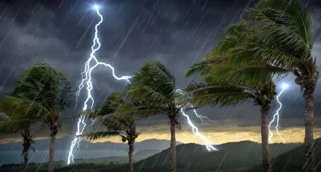




Tuesday marks the conclusion of the current UK heatwave, though weather officials have cautioned that the day brings an increased risk of thunderstorms. Parts of southern and eastern England are expected to meet official heatwave criteria today, following similar conditions in Pershore and Cavendish on Monday. While temperatures may exceed 30C, a shift in the weather pattern is anticipated by midweek.
Met Office alerts remain active across England until Wednesday morning. Despite a cold front moving toward the south-east, significant rainfall remains unlikely for areas such as London, Surrey, and Kent. This continues a recent trend of dry weather, as the country recently observed its driest and sunniest July on record.
Conversely, Northern Ireland faces a yellow thunderstorm warning from midday until 9 PM, with potential for heavy downpours, strong winds, and hail. Because the soil is exceptionally dry, any intense bursts of rain risk immediate flash flooding as water will not be easily absorbed. This dry environment persists despite existing hosepipe bans affecting millions.
Looking ahead, meteorologists indicate that August may continue this trend of high temperatures and limited precipitation. While the extreme heat of July is less likely as the season progresses, temperatures in the low 30s remain possible even into September. Consequently, current water usage restrictions are unlikely to be lifted in the immediate future.